From the surface of the Earth, it seems that all the clouds are at about the same height. However, there can be huge distances between them, equal to several kilometers. But what are the highest and lowest of them? This post has all the information you need to become a cloud expert!
10. Layered clouds (average height - 300-450 m)
Wikipedia info: Stratus clouds are low-level clouds characterized by horizontal layering with a uniform layer, as opposed to cumuliform clouds, which are formed by ascending warm currents.
More specifically, the term "stratus" is used to describe low-level flat, hazy clouds that range in color from dark gray to almost white.
9. Cumulus clouds (average height - 450-2000 m)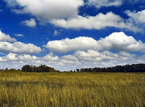
Wikipedia info: "Cumulus" in Latin means "heap, heap". Cumulus clouds are often described as "fat", "cotton-like" or "fluffy" in their appearance and have a flat bottom.
As low clouds, they are usually less than 1000 meters high unless they are a more vertical form of cumulus. Cumulus clouds can appear on their own, in lines, or in clusters.
8. Stratocumulus clouds (average height - 450-2000 m)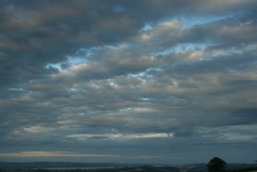
Wikipedia Info: Stratocumulus belongs to a type of cloud characterized by large dark, rounded masses, usually in clusters, lines or waves, the individual elements of which are larger than altocumulus clouds, forming at a lower altitude, usually below 2400 meters .
Weak convective air currents create shallow cloud layers due to the drier, still air above them, preventing further vertical development.
7. Cumulonimbus clouds (average height - 450-2000 m)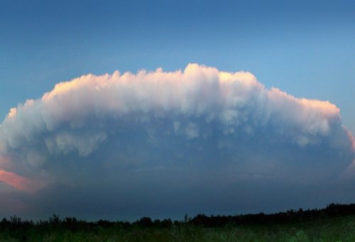
Wikipedia Info: Cumulonimbus clouds are dense, towering vertical clouds associated with thunderstorms and atmospheric instability, formed from water vapor carried by powerful updrafts.
Cumulonimbus clouds can form alone, in clusters, or as a swell with a squall along a cold front. These clouds are capable of producing lightning and other dangerous severe weather such as tornadoes.
6. Nimbostratus clouds (average height - 900-3000 m)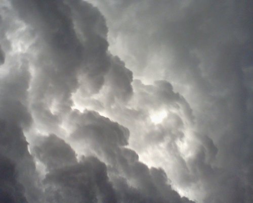
Wikipedia info: Nimbostratus clouds usually generate precipitation over a vast area. They have a diffuse base, usually located somewhere near the surface at the lower levels and at an altitude of about 3000 meters at the middle levels.
Although nimbostratus clouds are usually dark in color at the base, they are often illuminated from within when viewed from the Earth's surface.
5. Altostratus clouds (average height - 2000-7000 m)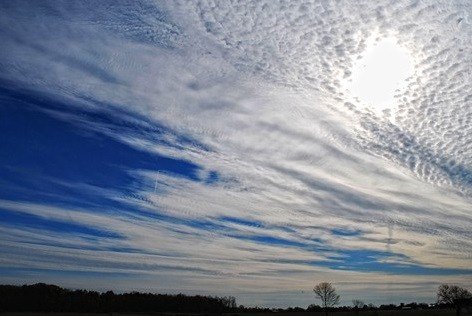
Wikipedia Info: Altostratus clouds are a type of mid-layer clouds belonging to the layer-like physical category, which is characterized by a generally uniform layer that varies in color from gray to bluish-green.
They are lighter than nimbostratus and darker than high cirrostratus. The Sun can be seen through thin altostratus clouds, but thicker clouds can have a denser, opaque structure.
4. Altocumulus clouds (average height - 2000-7000 m)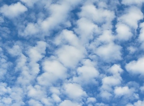
Wikipedia info: Altocumulus is a type of mid-tier cloud that belongs predominantly to the stratocumulus physical category, characterized by spherical masses or ridges in layers or sheets, the individual elements of which are larger and darker than cirrocumulus clouds, and smaller. than stratocumulus clouds.
However, if the layers become flocculent due to increased air mass instability, then altocumulus clouds become more cumulus in structure.
3. Cirrus clouds (average height - 5000-13.500 m)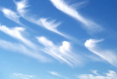
Wikipedia info: Cirrus clouds are a type of atmospheric cloud, usually characterized by thin, filamentous filaments.
The filaments of the cloud sometimes form into tufts of a characteristic shape known collectively as mare's tails. Cirrus clouds are usually white or light gray in color.
2. Cirrostratus clouds (average level - 5000-13.500 m)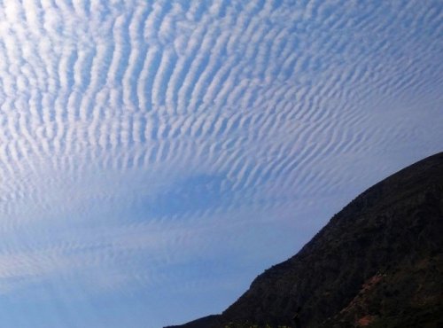
Wikipedia info: Cirrostratus clouds are a type of thin, whitish stratus clouds made up of ice crystals. They are difficult to detect and are capable of halo formation when they take the form of a thin cirrostratus mist cloud.
1. Cirrocumulus clouds (average height - 5000-13.500 m)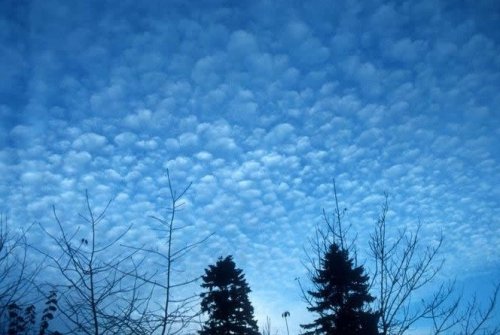
Wikipedia info: Cirrocumulus is one of the three main varieties of upper tropospheric clouds (the other two are cirrus and cirrostratus). Like lower cumulus clouds, cirrocumulus clouds signify convection.
Unlike other tall cirrus and cirrostratus, cirrocumulus are composed of a small amount of transparent water droplets, although they are in a supercooled state.